

In the summer of 2016, the Village of Brown Deer contacted Ruekert & Mielke, Inc. (R/M) for assistance in developing an urban forestry project that would be strong enough to meet the application needs of the DNR's Urban Forestry Grant.
Viewing entries in
GIS
In the summer of 2016, the Village of Brown Deer contacted Ruekert & Mielke, Inc. (R/M) for assistance in developing an urban forestry project that would be strong enough to meet the application needs of the DNR's Urban Forestry Grant.
The Village of Fox Point obtained an Urban Nonpoint Source Planning Grant from the Wisconsin DNR to update the Village's storm water management plan, emphasizing water quality modeling, updating ordinances, and evaluating Milwaukee River TMDL requirements. The Village selected Ruekert & Mielke, Inc. (R/M) in part due to their comprehensive storm water experience and capabilities in order to fully utilize the grant funding.
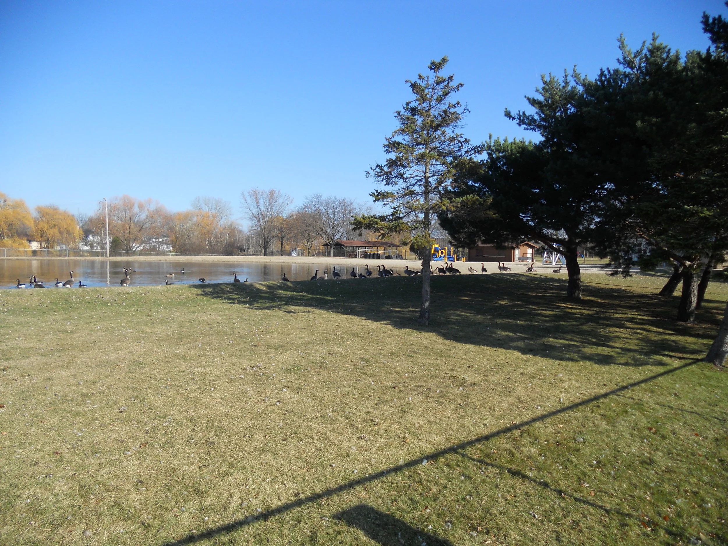
Geographic Information Systems (GIS) can be your one stop for filing and retrieval of your MS4 and TMDL records. Permit compliance activities can be simplified by tracking multiple project sites and related records through GIS.

