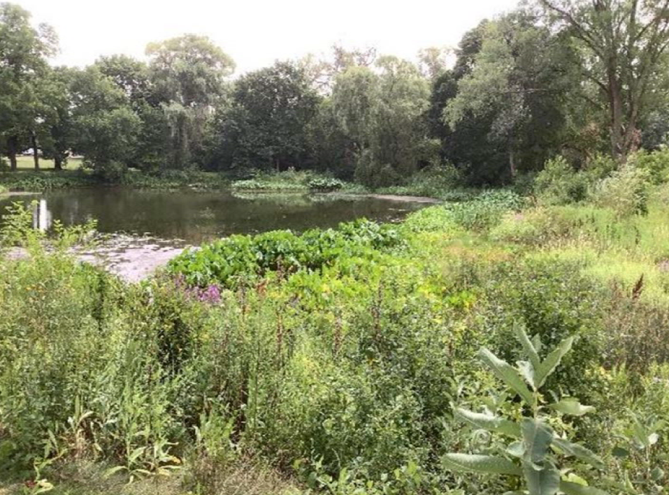
Forestry grants play a crucial role in helping municipalities fund the development and maintenance of community forestry programs. This includes activities such as tree inventories, plantings, pruning, invasive species control, and other sustainable practices. Additionally, leveraging GIS to maintain accurate tree data keeps tree inventories and forestry management plans accurate and efficient. By combining these two tools, municipalities can effectively maintain the health and resilience of their forest ecosystems.
Forestry Grants
Wisconsin Department of National Resources (WDNR)
WDNR urban forestry grants are available to cities, villages, towns, counties, tribes, and 501(c)(3) nonprofits in the state. Eligible entities can apply annually, receiving up to three startup grants before transitioning to regular grants. Funding requires a 50-50 match, and projects range from $2,000 to $50,000, covering components like tree inventories, pest response plans, public outreach, and tree planting. Eligible costs include salaries, supplies, and donations. Detailed guidelines are outlined in the 2025 Urban Forestry Grant Application Guide.
Applications for 2025 are accepted from July 1, 2024 through October 1, 2024.
Access WDNR’s Forestry Grants Site
Urban Forest Inflation reduction act (IRA) Grants
The WDNR is currently accepting grant applications until June 3, 2024, with $4 million in IRA funds available for Wisconsin Projects. Awards, ranging from $1,000-$500,000, have a three-year completion window and require no recipient match. Projects must benefit disadvantaged communities, with priorities on urban forest improvements like risk mitigation, canopy increase, and public outreach. All fieldwork must be within DAC boundaries. While long-term planning qualifies, strong applications include increased operations based on inventory or management plans.
Access WDNR’s Urban Forest IRA Grants Site
Leveraging GIS For Forestry
GIS Tree Dashboard - Village of Huntley
R/M has extensive experience working with various communities and forestry grants. Our experts work with the client to determine their needs and how they want the data made available to the municipality and the public.
Utilizing tools like ArcGIS Online dashboards and field map applications, municipalities can streamline tree inventories, facilitating efficient data collection and analysis.
GIS Tree Maintenance Tracking
GIS empowers informed decision-making by visualizing tree maintenance needs and prioritizing tasks. Interactive mapping enhances public outreach, enabling citizens to engage with the urban forest’s health and planned interventions. This technology not only optimizes resource allocation but fosters community involvement through accessible, real-time information. The synergy of GIS applications ensures municipalities can effectively manage and enhance their forestry efforts, creating sustainable and resilient urban landscapes.
R/M Can Help!
R/M can help you apply for, and secure forestry grants. Our experts can also implement a user-friendly GIS tree inventory dashboard for your community. Contact us to learn more today!
about the author

ERIN M. SCHULTZ
gis Customer success manager
Erin offers experience in GIS and Environmental areas. Her expertise is focused in ArcCatalog, ArcMap, ArcGIS Online, environmental regulations, research and data analysis.