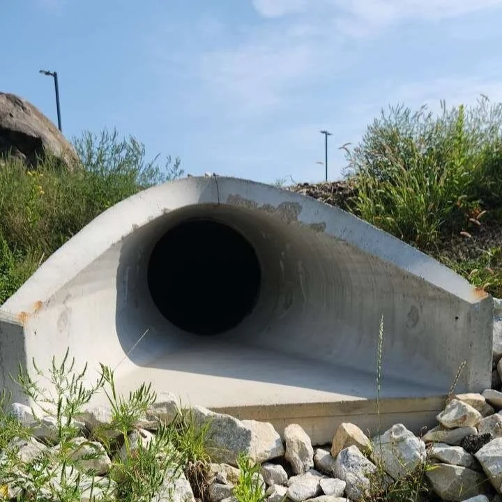
In recent decades, rock-lined channels have been utilized as a hard armor alternative to reduce streambank erosion in urban waterways. Rock-lined channels were developed as a solution to reduce the total suspended solids (TSS), phosphorous, and sediment that concrete-lined channels transport to downstream tributaries. Rock-lined channels utilize rip-rap (rock) to construct a channel that incorporates base flow as well as flood flow into one channel. While this method of channel design can decrease TSS and sediment transport, it typically does not utilize the riparian or floodplain wetland habitats adjacent to the waterways. Additionally, many biotic indices perform poorly within the rock-lined channel environment.

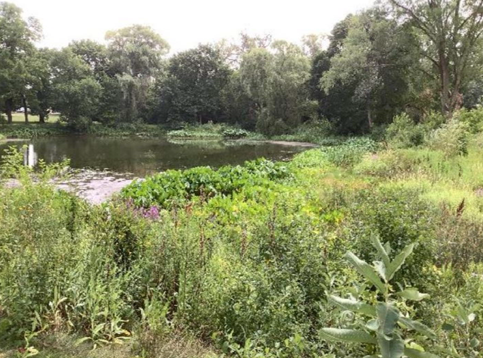
Natural Channel Design was introduced as an alternative to rock-lined channels and utilizes natural material (rock and woody material) in the channel to achieve reductions in TSS, phosphorous, and sediment to downstream tributaries. Natural Channel Design also incorporates the adjacent riparian and floodplain wetland habitats into the channel design to increase flood capacity, improve water quality, and decrease streambank erosion. Additionally, the restored floodplain and wetland corridors provide critical habitat for birds, bats, small mammals, and amphibians as well as increased educational and recreational opportunities for the community.
Benefits of a natural channel design
Increased flood capacity
Improved water quality
Decreased streambank erosion
Restored floodplain and wetland corridors

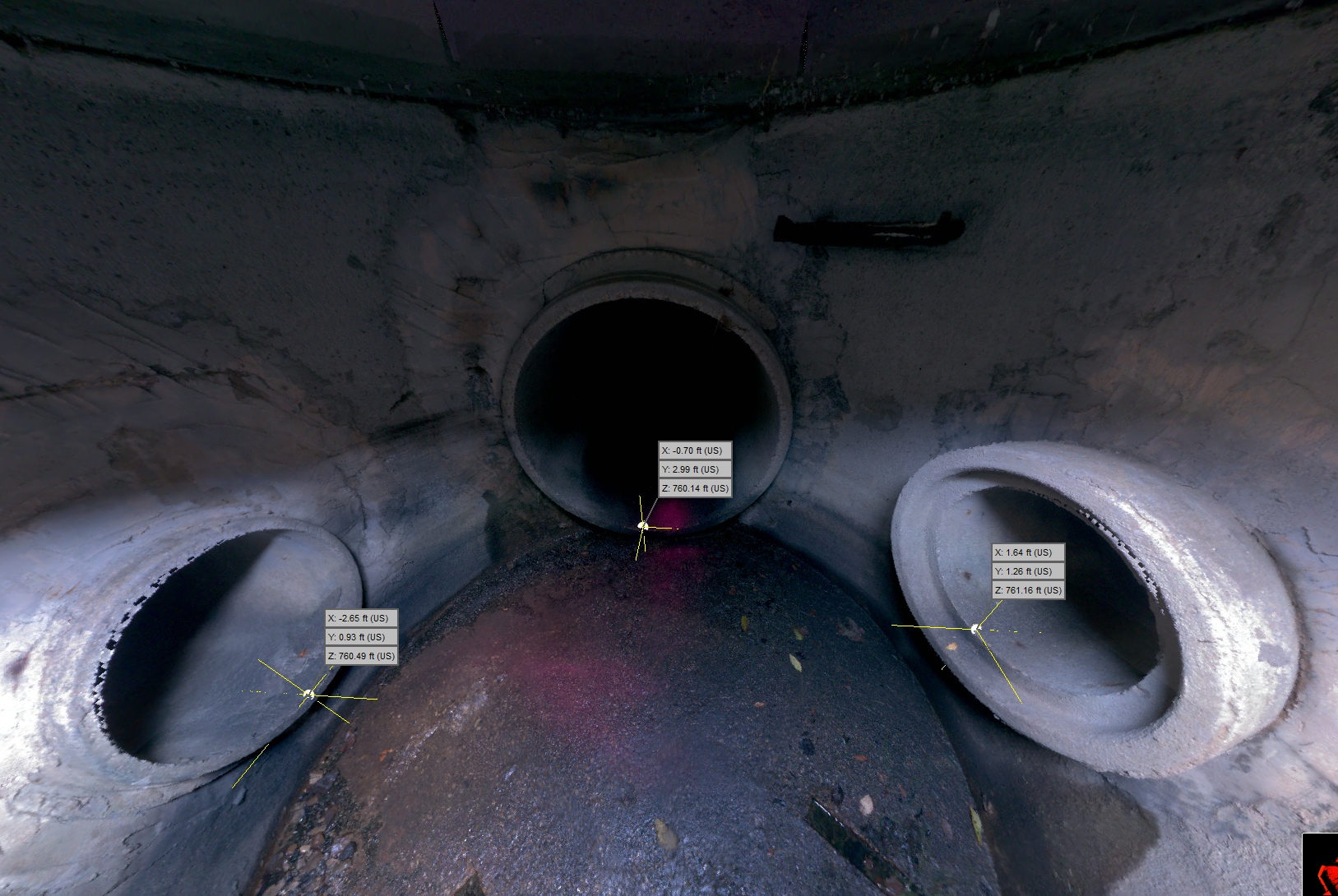
When designing a natural channel, it is important to consider how streams move water through a municipality and what factors can contribute to decreased functionality of the stream. In degraded urban systems, this often includes a restricted floodplain with little to no access to wetlands as well as elevated TSS and sediment contributions from the built environment. Initial field assessment should evaluate and compare the impacted waterway to a stable reference waterway. Initial assessment often includes additional hydrological modeling and review of local USGS monitoring stations to further inform the channel design. Key metrics from the initial assessment are utilized to determine appropriate channel design parameters including, among others, stream width, depth, and sinuosity. A typical riffle and pool section of natural channel design would incorporate native cobblestone, logs, or rootwads into the channel design. These features are installed into the bed and bank of the stream and do not typically extend more than halfway up the bank of the channel. Native vegetation is planted from the edge of the features through the floodplain to stabilize the streambank.
R/M can help!
If you have a stream or creek in your municipality that has failing banks or a rock or concrete-lined channel, reach out to R/M’s experts! We will be happy to discuss your potential project and move forward with a feasibility study and stream and wetland assessment if appropriate. The initial assessment and review could then be used to create a conceptual design and tailored grant program, as well as estimated design and construction costs.
ABOUT THE AUTHOR

NicHOLAS p. connoR, MS
biologist
Senior Biologist Nick Connor, MS, has a focus on urban river systems and Environmental Risk Assessment. His technical experience is in critical issues and feasibility studies, ecological restoration, stream restoration, and slope stabilization for water quality and habitat improvement to help achieve both development and watershed management goals. He is a key project coordinator for site constraints analysis, wetland delineations, threatened and endangered species assessments, and permitting evaluations for both municipal and private sector clients, including solar developers.