


1
2
3
4
5
6
7
Construction Progress Inspection & Mapping
Efficiently document and track site conditions, construction progress, earthwork, etc. in real time with routine drone flights. Deliverables include aerial photos & videos, orthophotos, and digital terrain models, oftentimes available within 24 hours of the flight.
Topographic Surveying
Survey parcels ranging from 1 to 1000 acres from the air in a fraction of the time required by terrestrial survey methods. Site conditions should consist primarily of pavement, bare earth, or low vegetation (mowed grass, harvested crops, etc.) for highest accuracy. Deliverables include survey-grade orthophotos, digital terrain models, and planimetric linework.
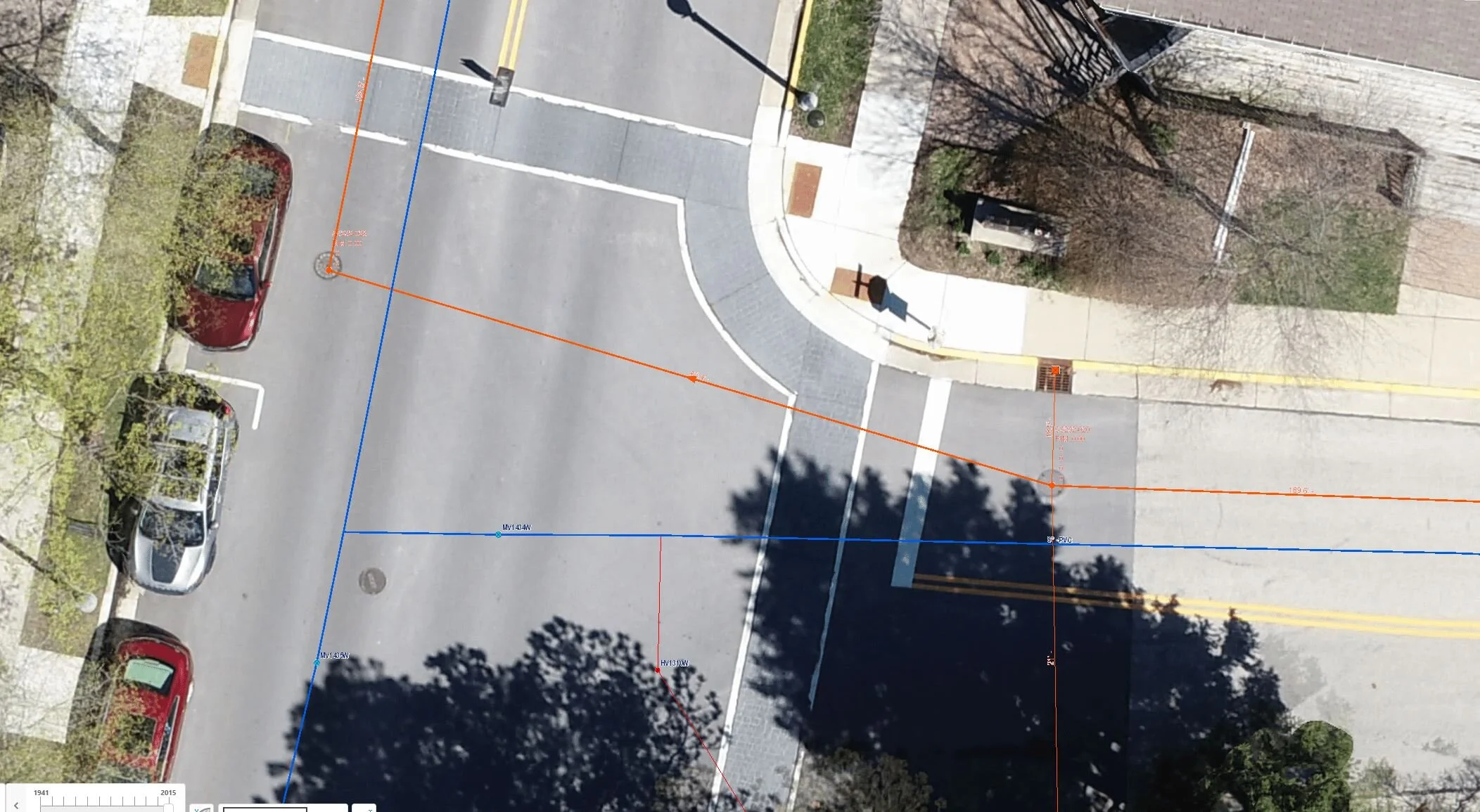
Utility Mapping
Quickly and easily map located underground utilities via high-resolution orthophotos generated from drone data. Save time and improve safety compared to traditional survey methods and eliminate any second guessing of the utility routes. Easily import utility linework and orthophotos into your existing GIS/CAD models.
Pavement Condition Assessment
Quickly and completely document pavement conditions with ultra high definition orthophotos created from drone data.
Coastal & Environmental Mapping
Map and document coastal/environmental conditions with enhanced safety and efficiency. Aerial photos and videos, along with high-resolution orthophotos and digital terrain models, allow you to track these quickly changing environments in nearly real-time.
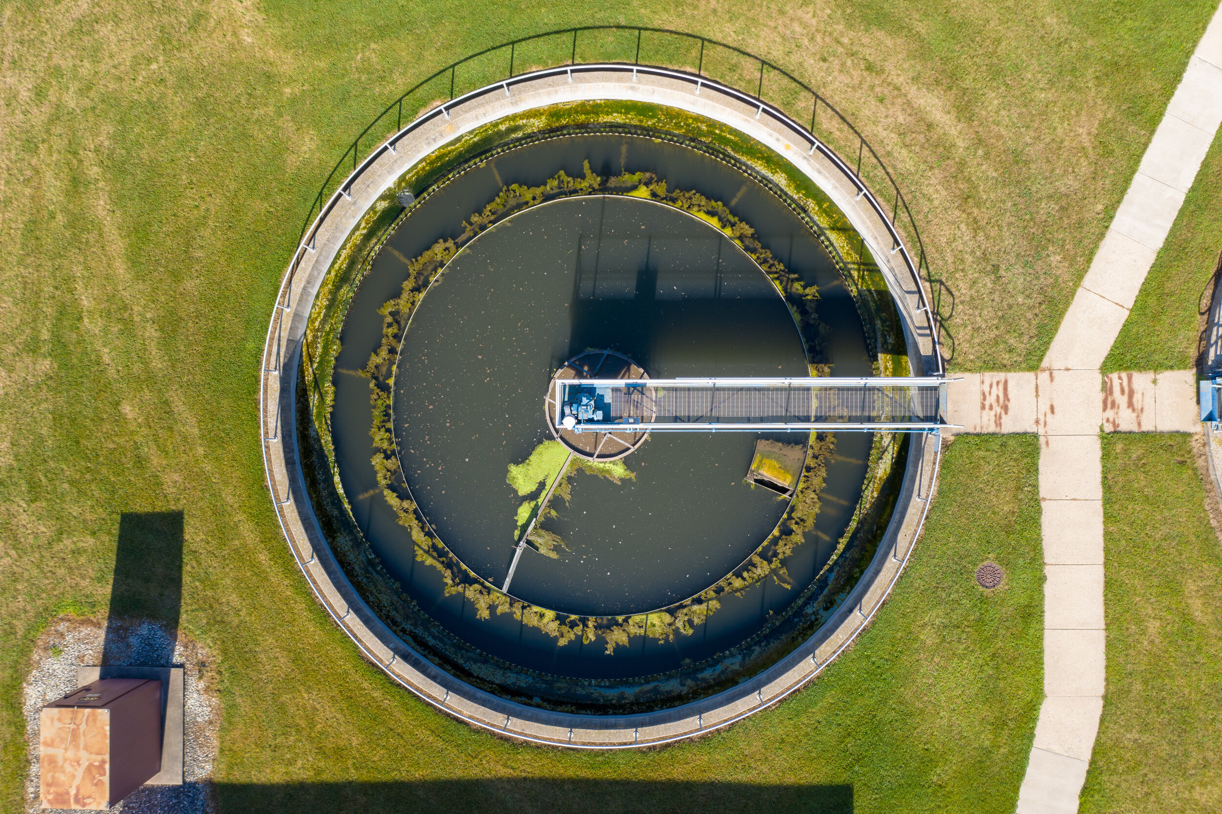
Infrastructure Inspection
Inspect and document the condition of your infrastructure assets efficiently and safely with aerial photos and videos, façade orthoplanes, and thermal data.
Virtual Tours
View your infrastructure or document site conditions from any angle with virtual site tours created from aerial 360 degree panoramas.