

With the promise of sunshine and spring flowers ahead, it’s time to line up the field surveys needed for your project approvals. Wetland boundary delineations and other natural resource surveys can be conducted once the snow and frozen soils are gone and the plants begin to emerge.
To avoid unanticipated project delays, wetland and other environmental screenings and/or field work should be handled early in the project design process, well before submitting applications for construction grading/storm water permits. Securing assistance early in the planning and design process can help anticipate natural resource constraints and potential permit needs. A professional team can also identify wetlands that may be exempt from federal or state permitting, saving you time and money.
Do I need a wetland delineation?
It’s important to schedule a wetland delineation if you are planning a project that may disturb, alter, or fill a wetland, stream, pond, or shoreline. Areas with present hydric soils must also be evaluated. This is especially important if you want to avoid permit delays.
How long will it take?
Projects authorized during February and March will be given first priority* and scheduled for the start of the growing season (typically between mid-April and mid-May). Depending on the size of the site and the number of potential wetlands or poorly drained soils that need to be evaluated, it may take at least one day to obtain and review the desktop research materials and at least one day of field work. The report will normally be completed within a few weeks after the notification to proceed. After the report is completed, the appropriate regulatory agency will review it and schedule a confirmation site visit.
*Please let us know if your project needs to be expedited, especially if spring construction activities are planned. We can frequently prioritize urgent projects.
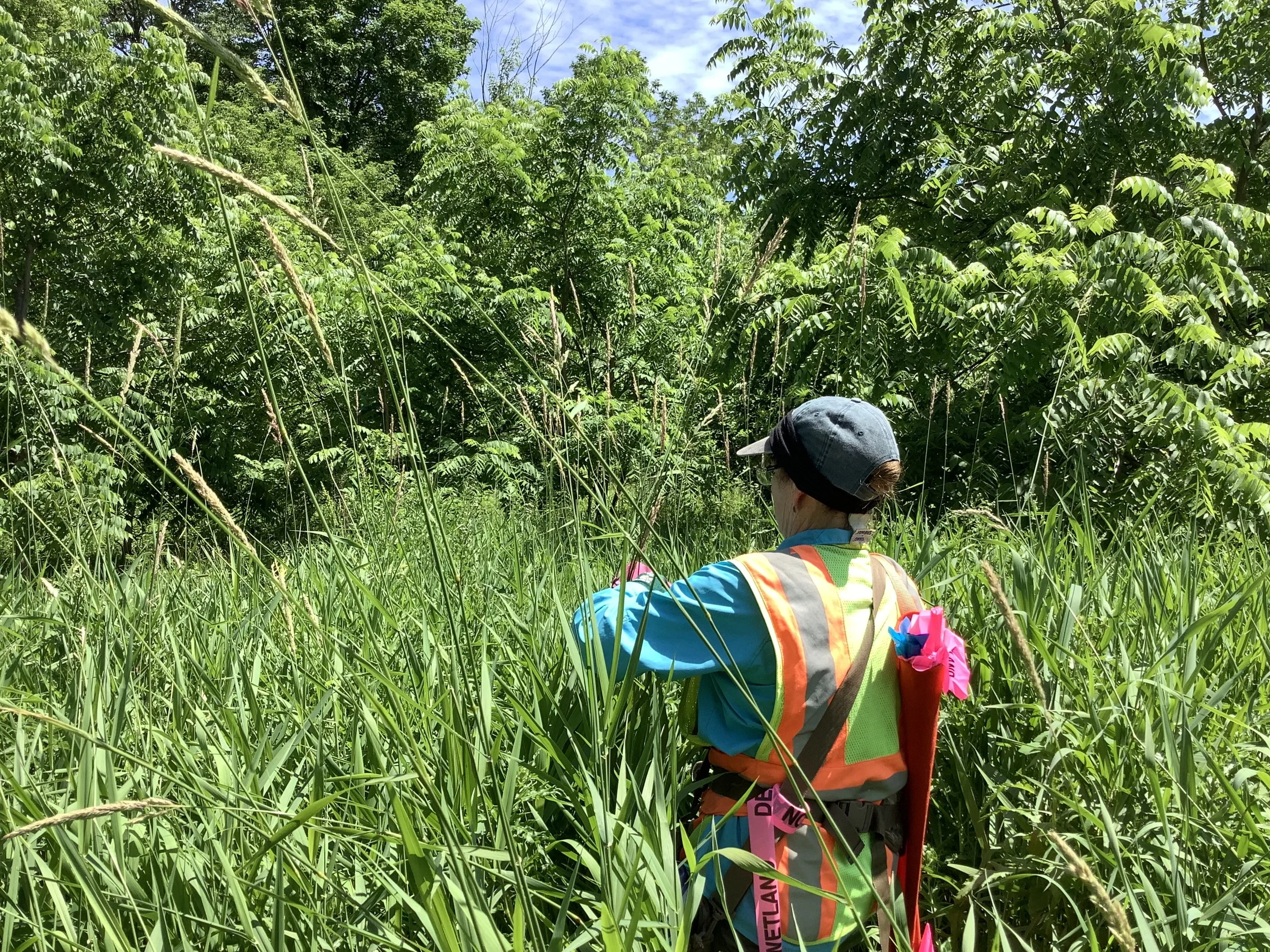
How are wetland delineations done?
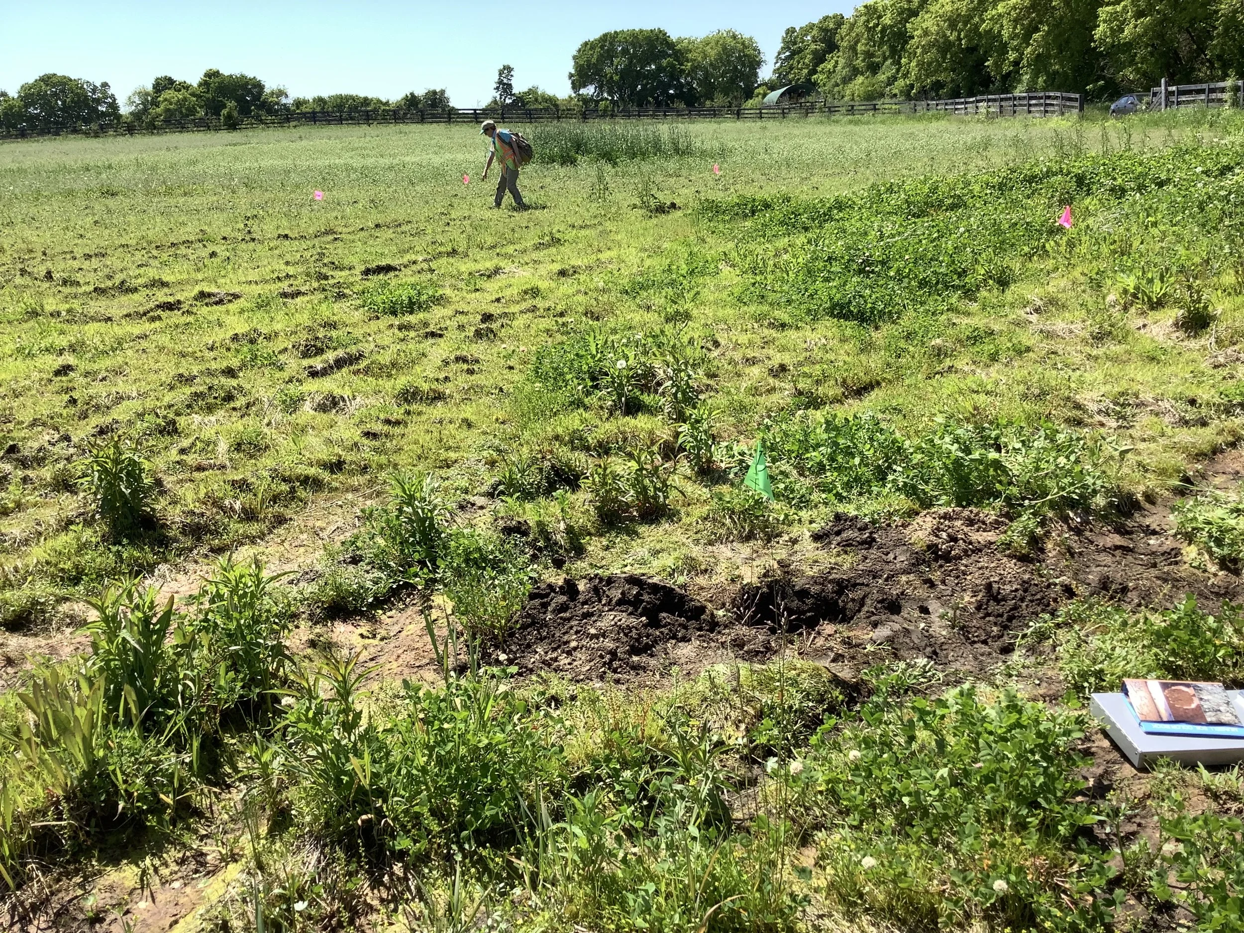
Potential wetland areas are identified through analysis of various maps, aerial photographs, soils information, and site visits. Wetland delineation field work is performed based on the US Army Corps of Engineers 1987 Wetland Delineation Manual and an applicable regional supplement.
The determination between wetland and upland is made based on subtle to distinct topographic breaks, the boundary between hydrophytic and non-hydrophytic vegetation, the boundary between the presence and absence of wetland hydrology indicators, and the boundary between hydric (wetland) and non-hydric soil.
PERMIT TIMELINES:
Nationwide or General permits: 1 to 3 months
Individual permits (for larger wetland or water impacts): 6 to 12 months
Chapter 30 (Wetland and Waterway General Permit): 60 days
Individual Permit and/or Water Quality Certification (for larger wetland or waterway impacts): 3-12 months
LEARN MORE
If you have questions about whether or not your next project needs a wetland delineation, don’t wait! Delayed permits can cause major project delays and wreak havoc on your budget. Please contact our environmental services team today to learn more.
ABOUT THE AUTHOR

CHRISTY PONIEWAZ
Biologist
Christy is a biologist with experience in conservation, environmental science, land management restoration, wetland ecology, GIS, and arboriculture. As a part of R/M’s environmental team, Christy’s work includes wetland delineations and storm water modeling. Christy is also a certified interpretive guide and certified beekeeper. She has been with R/M since May 2019.
Header image photo credit: audobon.org

