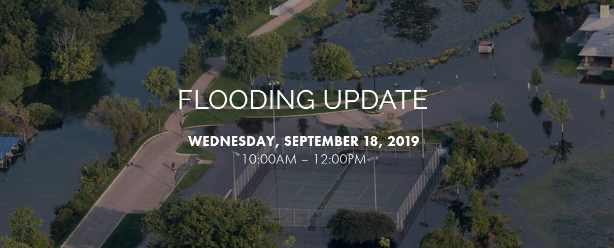
The state of Wisconsin has experienced a record-breaking amount of precipitation over the last decade, resulting in billions of dollars in flood damage to homes, businesses, and public infrastructure. Last year’s flooding was so severe that Governor Walker declared a state of emergency for all of Wisconsin; the total damage cost nearly $210 million.
The potential for devastating storm events and catastrophic damage to our communities continues to grow. Lake Michigan is currently at its highest level in 17 years and some areas in Wisconsin are experiencing groundwater levels higher than they have been since the 1930’s.
Fortunately, there are resources available and steps you can take to prepare for increasingly severe weather and to minimize your municipality’s risk of flood damage to private property, businesses, roads, parks, and community infrastructure.
STATE RESOURCES
The Wisconsin Department of Natural Resources (WDNR) is working proactively to protect municipalities and their residents from the detrimental effects of flooding with projects like the Wisconsin Floodplain Management Program. This program provides access to valuable floodplain engineering data, floodplain study checklists, guides to important FEMA resources, local ordinance information, interactive floodplain maps, and more. The WDNR also has several grants available to help alleviate the financial burden placed on communities as they prepare for extreme weather and work to mitigate potential flood damage.
The Wisconsin Department of Military Affairs Emergency Management Program offers funding assistance and planning resources for municipal hazard mitigation and disaster support, including weather emergency toolkits, storm shelter guidance, and grant applications.
PLANNING AHEAD
The City of Kenosha recently experienced significant rain events that resulted in detrimental flooding. In order to prepare for these events in the future and prevent recurring storm damage in their community, the City partnered with R/M to overhaul its storm water management efforts. This plan included:
A comprehensive 3D flood model and a City-wide water quality model
A thorough update of the City’s storm water GIS database via historic records, research, and field survey. This updated digital database not only assured the City of having accurate GIS data, it became the basis for their flood control and water quality models while also being the primary visual tool to display the study’s results.
Flood Simulation in GIS
This technology enabled the City to easily visualize areas at risk for future flooding, better prepare for rain events before they cause significant destruction, and quickly share important data with other stakeholders. Where previous modeling methodologies required an immense amount of both engineering knowledge and time to digest the results, the implementation of robust digital data in the City’s GIS streamlined the model development process, saving the City time and money.
LEARN MORE
More than ever, effective, long-term storm water management is essential to preventing flood damage in our communities. To learn more about how R/M can help your municipality plan and budget for extreme storm events, please contact an expert today!
UPCOMING SEMINAR
Join experts from Wisconsin Emergency Management, the Wisconsin Department of Natural Resources, and Ruekert & Mielke, Inc. as we discuss what we learned from the 2018 floods, how to efficiently navigate DNR’s floodplain approval process, and how to utilize technology to more efficiently manage this critical infrastructure.
TOPICS INCLUDE:
Floodplain management and mitigation – lessons learned from Wisconsin’s 2018 flooding (Katie Sommers, Michelle Staff).
Efficiently navigating the WDNR flood study approval process (Chris Olds).
How to utilize technology to efficiently manage your storm water & flood control management system (Steve Wurster).
About the Author
Steven C. Wurster, P.E., CFM, CPSWQ
Senior Vice President and COO, Client Team Leader
Steve thrives in the area of storm water management. His experience as a project manager and project engineer includes municipal water resources master planning, storm water management facilities design and review, NR216 permitting and compliance, storm water utility implementation, environmental permitting and hydrologic, hydraulic, and flood plain modeling. He is also experienced in site grading and erosion control design, utility design, transportation facilities design, development review, construction management and general municipal consulting. Steve has been employed by Ruekert & Mielke, Inc. since 1999.


