Municipal Separate Storm Sewer System (MS4) programs include important information required for permit compliance and the evaluation of the effectiveness of the programs over time. As state and federal authorities begin to require more detailed and quantifiable reporting information, it’s increasingly important to utilize reliable and efficient tools like GIS to track and store your MS4 permit data.
More Data & Details Required
State and federal authorities now expect more comprehensive, measurable information in the annual reports, with the EPA requiring electronic submittals of MS4 information by 2020.
WDNR has revised the MS4 Annual Report Form (used electronically for the first time in 2018) for the next annual report submittal in March 2019. Some examples of MS4 permit program information to collect during the year includes:
Road Salt & De-icers: The tons of salt spread per weather event and reported monthly in the annual reports. Dry material is reported in tons, liquids in gallons.
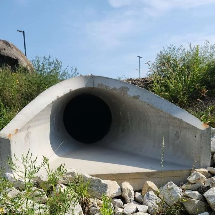
Catch Basin: How many catch basins were inspected? How many were cleaned out? How many tons of material were removed over the year?
Street Sweepings: How many times did the street sweepers complete a full route? How much material was collected in total tons over the year?
Pond/Facility Inspections: How many publicly-owned storm water ponds and facilities were inspected? How many privately-owned ones? How many required maintenance? How much sediment was removed from the different facilities? How many new ponds/facilities were constructed?
IDDE: How many MS4 outfalls were inspected? How many had follow-up sampling?
You can view the revised MS4 Annual Report Form on the WDNR website to collect the right information now for reporting next March.
increase reporting efficiency with GIS
GIS marries perfectly with MS4 permitting to track detailed spatial information, preserve historical data, and share information in real time. A successful GIS strategy starts with developing a spatial representation of the MS4 system that captures physical characteristics of your system such as:
Pipe and Structure Type
Size
Length
Inverts
Material
GIS allows staff to better communicate and to produce more detailed and accurate inspections and reports. GIS takes MS4 tracking a step further by attaching documents, photos, and inspection forms to corresponding assets. Inspection forms in GIS are assigned to a specific storm utility, providing a consistent look and the same types of information for each facility.
Drop-down menus allow the system user to perform inspections with greater ease and efficiency. Inspections that are attached to assets are date stamped and added to a table of inspections for future reference related to that asset, making it easier for the user to locate that information when necessary.
GIS also provides query/filter capabilities to isolate information based on specific parameters set by the user. For example, to compile the catch basin inspections at the end of the year, the query or filter tool could isolate “catch basins Inspected in 2018”. All of the inspection forms from the storm structures that fit that query string will be available for review and printing, allowing for consistent, detailed documentation that can be quickly shared both inside and outside of an organization and in your MS4 reports.
For additional information on collecting MS4 program data or using GIS to make MS4 program work more efficient and organized please contact Maureen McBroom or Kevin Korth today.
Still want to learn more? Check out our webinar on MS4 Field Inspections and Digital Tracking in GIS.
About the Authors


Maureen A. McBroom
Environmental Coordinator
Maureen is dedicated to the protection and improvement of Wisconsin’s resources through close collaboration with municipalities and their citizens. Efficient & effective implementation, driven by strong relationships and communication, are drivers behind her project implementation strategies. She has experience in the WDNR’s Runoff Program, specifically issuing WPDES Permit coverage for construction site erosion control & long-term storm water plans, industrial storm water sites and municipal separate storm sewer system (MS4) permittees. Maureen has been with R/M since 2015.
Kevin Korth
Technology Solutions Advisor
Kevin has a diverse background focused around GIS, public works processes, software implementations, and client success management. He utilizes these skills to work closely with clients to advise them on the best technologies to meet their goals. A combination of his skill set and personality drives his passion for training clients and setting them up for success. His involvement with numerous software implementations has given him the experience of working with several departments within an organization to achieve both community and department goals.